The Greene River Trail has been on my list for a while. It’s a pretty short trail, clocking in at just under 7 miles, so it would normally be a pretty easy ride. But being a solid 3.5-hour drive from my home means that getting to this trail either requires an overnight stay or seven hours of driving in a single day. Given that reality, and since this trail didn’t feature anything unique like tunnels or open mine pits or fire-breathing dragons, it’s languished on my “to do” list for years now.
But when I noticed that some other trails I wanted to ride — the Westmoreland Heritage Trail and West Penn Trail — were in the vicinity, I decided to snag a cheap hotel room and make a double-trail weekend out of it.

The drive out is long, but easy. The drone of the PA Turnpike gradually gave way to smaller and smaller roads. First another interstate, then an interstate-grade state highway, then a regular state highway, then secondary roads, then an old mining road. Wal-Marts and interchanges faded into local butchers and coal patch towns.
The trail itself is impossible to miss. There’s a large, paved, well-maintained trailhead at Rices Landing, complete with the colorful mural above, a portable toilet, and a Powerade vending machine. On my visit there were maybe half a dozen cars in the lot. A handful of cyclists and pedestrians passed by in the ten minutes I spent unhitching my bike and setting up for my ride.

Back in the day, southwest Pennsylvania — and especially Rices Landing and its nearby towns — was an industrial powerhouse. A series of locks once tamed the river, helping coal barges haul the fruits of hard labor up to Pittsburgh, where they fueled steel mills and power plants. You’re looking at the remains a tipple for what I believe was the Dilworth mine, which closed and reopened several times between the early 1960s and mid 1980s.
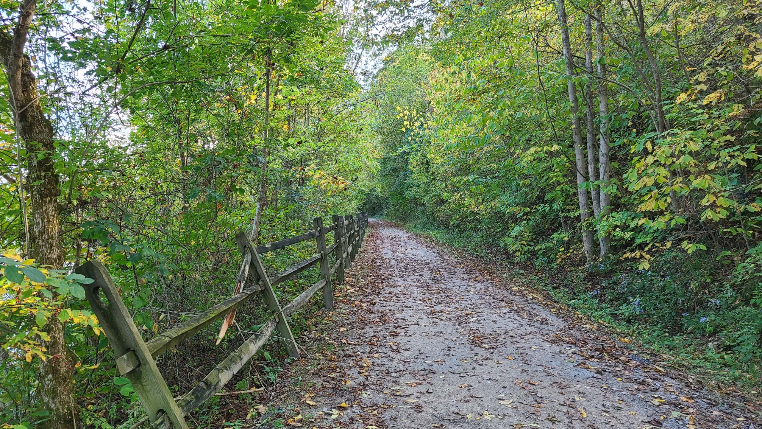
Like the Ghost Town Trail, the Greene River Trail is like walking through history. The path connects several long-abandoned coal mines as it winds its way through coal patch towns and industrial remains (what we call “collieries” here in the anthracite region). Despite extensive cleanup in the mid 2000s, evidence of the region’s mining heritage is abundant.

Fall in Pennsylvania, am I right?
This trail has some of the most beautiful scenery I’ve seen on any trail. To be fair, it’s fall. In Pennsylvania. It’s pretty much impossible to find a trail that’s anything less than “the most beautiful trail I’ve ever seen”. Look, here’s a random picture of an abandoned road, and even IT looks amazing:

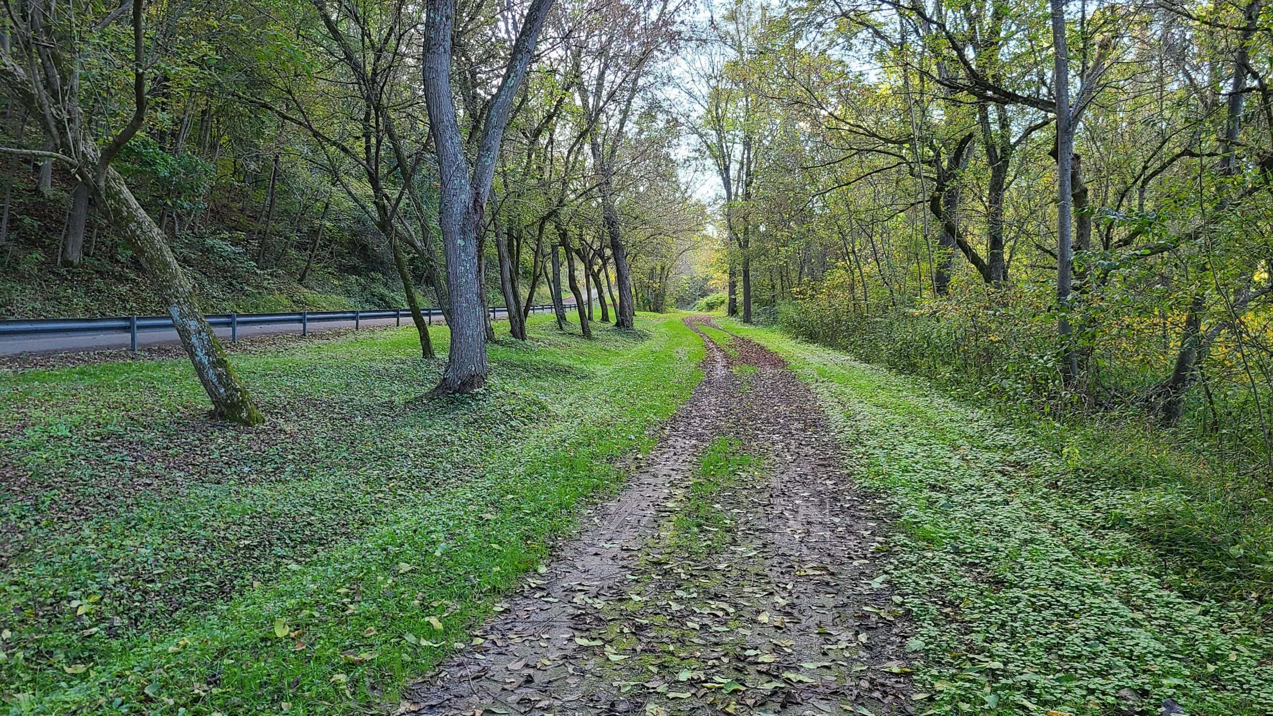
Incidentally, the closed-off road above led down to the Crucible Mine. I’m standing about 20 feet away from a (now capped) airshaft, and about 100 yards or so from where the river and train tipples once stood. Most of the buildings were torn down in the late 2000s but if you know where and how to look, there’s still plenty of evidence of the region’s heritage.
This trail also held special interest for me because my grandfather used to work there until it shut down in the early 1960s. I knew there wouldn’t be much left, but I wanted to at least see the general area where he worked. Markers along the trail explained that beginning in the 1970s, a new tunnel was dug under the river connecting the Crucible workings to the Isabella Mine. The began robbing pillars and clearing out the reserves until the mine was finally shut down in the 1980s.

The road to the Crucible Mine as it crosses the rail trail.
This is a good time to point out that you really want to stay on the trail here. They’ve done a pretty good job sealing off the most obvious access points, but there are always airshafts, drifts, and slopes that get missed. Especially this time of year, what looks like a harmless depression in the ground may actually be a subsidence covered in leaves.

Several coal barges kept me company during my ride.
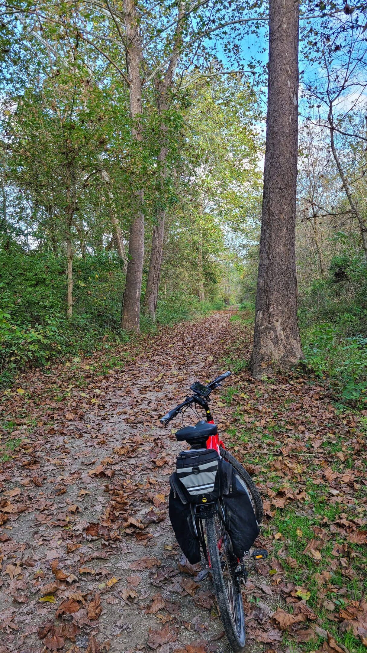
As it stands today, the trail is currently just shy of 7 miles long (14 miles round trip). The trail surface is a very well maintained mixture of fine gravel and packed dirt. As with most rail trails, you could probably get away with taking a road bike on here, but that’s pushing it. I’d spring for something beefier like a gravel, hybrid, or mountain bike.
Future plans call for expanding the trail down to Nemacolin, which would nearly double the length to 13 miles. There are no immediate plans to do so; I get the impression that this is more of a “someday” back burner goal than anything. I’d love to see the trail make use of an old iron rail bridge and continue north into Millsboro and Fredericktown.

Given the coal heritage of the region, there are no doubt countless abandoned rail lines crisscrossing the area. I truly hope that Greene County and the local municipalities see the value in bringing the region’s history to life by converting these abandoned lands to rail trails. It’s a low-cost, low-risk, low-maintenance way to give a boost to the local economy — especially restaurants, retail, and hotels. I always make a point to go out of my way to eat at a local brewpub or steakhouse after a ride — and I know many others do too!
If you’re up for the drive, or if you live closer than I do, this is a relatively short trail that offers a largely flat, easy, and scenic ride through history. The long drive and near total lack of nearby trails to pair up with mean I probably won’t be back, but it’s definitely worth at least one visit.